Discovering the Wherryman’s Way
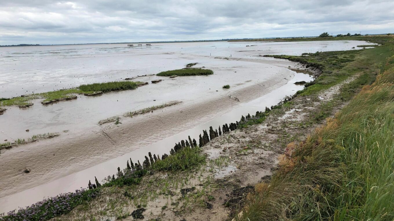
I’ve walked a couple of long stretches of the Wherryman’s Way in the last few months. It’s a 38 mile long path running from Great Yarmouth to Norwich along the River Yare. Starting from Yarmouth I was struck by how poorly signposted it was and how uninviting its start seemed (go round the back of ASDA and through a concrete arch…) So I wrote to the Trails Team at NCC to ask if they have plans. This is their reply (and my photo of Breydon Water):
Thank you for contacting us about the Wherryman’s Way. We have been trying to chase up about the signage actually following your email. We have installed signs going along the flood bank however we are aware of a lack of signage outside ASDA. This was to form part of another departments project opposite the train station near the bridge, the idea being to create a focal point where three trails converge (Wherryman’s Way, Weavers’ Way and Angles Way). I believe the intention was for a new large sign to show the direction of each of these, whilst improving the area as part of the funds spent in Great Yarmouth over the last few years. I am not sure of the status of this currently, it may be held up with COVID-19, however we will look to follow up on this.